
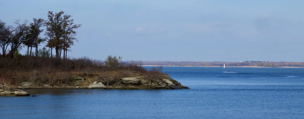
December morning at Katie’s Woods, Grapevine Lake.
Grapevine Lake is an artificial reservoir in the Trinity River basin northwest of the Dallas-Fort Worth International Airport. The lake lies in north Grapevine near the border of Denton County and Tarrant County on Denton Creek, a tributary of the Elm Fork of the Trinity River. The reservoir, which was built for flood control, is owned and operated by the U.S. Army Corps of Engineers.
In 1945 the federal government authorized the lake to tame Denton Creek, which overflowed every spring. And so the condemning of land began—some 12,000 acres. Where the lake now stands once dairy and produce farms flourished. As one historian recalled, people were angry and suspicious, but they had no choice. They said it was progress. Some residents had lived on Denton Creek all their lives and it pained them to see their homes moved, most to the neighboring town of Grapevine.
Construction of the lake began in March 1945 with the 12,850-foot dam started in January 1948. Both the dam and lake were completed in 1952 at a cost of $11.8 million.
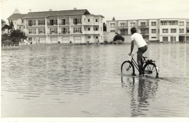
Locals were told that it would take 10 years for the lake to fill, but as the locals predicted, it filled during the first big rain. After all, the bottomlands reside in the Trinity River floodplain.
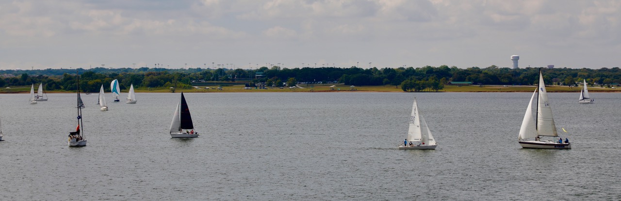
Sailboats on a cloudy October day at Grapevine Lake.
In fact, the lake filled so fast that after 62 years pieces of machinery still rest undisturbed at the bottom of the lake: a mammoth gravel washer and a towering conveyor, as well as a tractor and two dump trucks.
The towns that surround Grapevine Lake are Grapevine, Southlake, Trophy Club, Roanoke, and Flower Mound, but only three municipalities have water rights to the lake: the city of Grapevine, the city of Dallas, and the Dallas County Park Cities—Highland Park and University Park.
Not only is Lake Grapevine a water source for the above mentioned cities, it is also a recreational wonderland. Learn more: Grapevine Parks and Recreation Master Plan.
 Toward the end of April, I had planned to launch a series of posts about Texas, as CLON-X is set in the Lone Star State. But life interfered with COVID-19, and stay-at-home orders prevented any nonessential trips, such as our plans to visit Big Bend or even closer to home—Dallas.
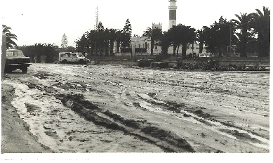 After graduating from the University of Oregon in 1974, I made the long trip from Eugene, Oregon to Swakopmund, South West Africa—now Namibia—to visit my parents. The company my father worked for at the time had contracted with NamWater to build southern Africa’s first large seawater desalination plant to supply a nearby uranium mine and the city of Swakopmund with water.
 While survival can be a struggle in the Namib, this surreal landscape of towering, windswept, copper-red sand dunes that undulate to a cobalt blue ocean, blurring the line between water and sky, captivated me the moment I stepped off the puddle jumper from Windhoek, Namibia’s capital.