Hardwired

Utah

Utah 2018: Arches National Park

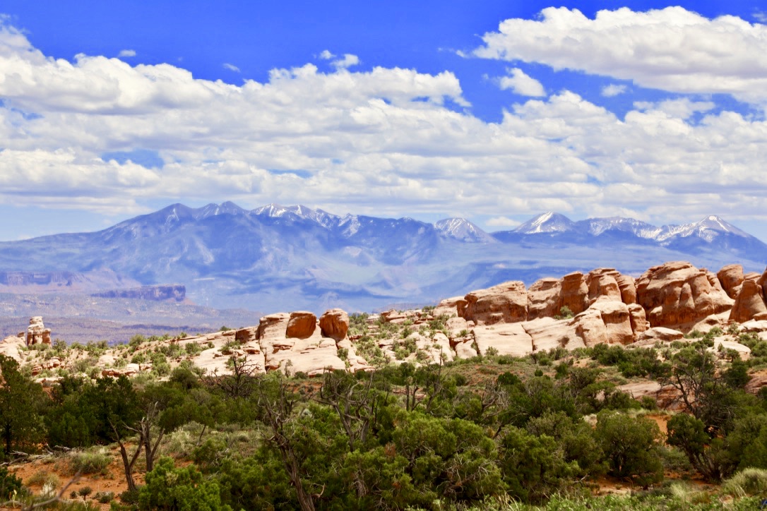
La Sal Mountains, Utah. Elevation over 12,000 feet.

Initially, we planned to leave our visit to Arches National Park to the last day of our vacation, but we arrived early in the Moab area, and seeing only two cars at the park entrance, we changed our minds.

Our Arches tour was a combined walking and driving visit. The summer crowds were already appearing and the park was filling with American visitors, as well as several foreign group tours. Even this early in the day, parking at certain viewpoints and pullouts required a wait. We circumvented the issue by passing up full overlooks in favor of seeing those on the return trip. When we reached Lower Delicate Arch Viewpoint, we zipped into the last space in the parking lot, thanks to an eagle-eyed park ranger who flagged us down.

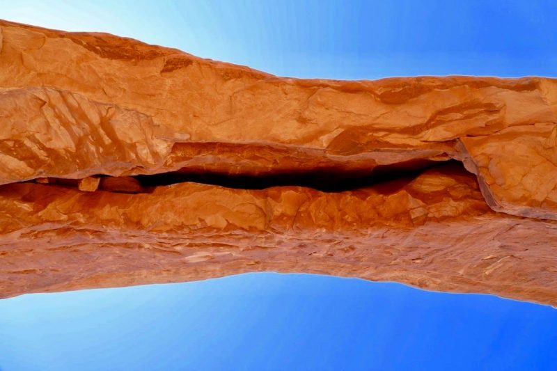
While I would’ve loved to have hiked Devils Garden Trail, all 7.2 miles of this most difficult and longest of the trails in the park, we stuck to the short hikes—Park Avenue, Windows Trail, Double Arch, Skyline Arch, and Balanced Rock saving the garden for a future visit. 

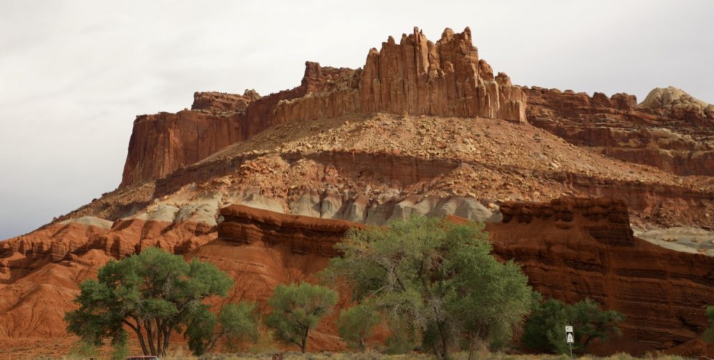
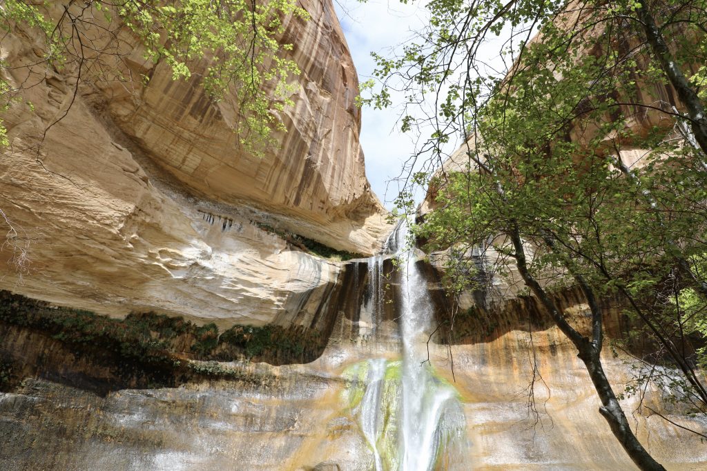
To think this stark, colorful terrain was once completely under water. The park itself lies atop an underground salt bed. Water, ice, extreme temperatures, and underground salt movement have sculpted the landscape, and all are responsible for the arches, spires, balanced rocks, and sandstone fins seen throughout the park.

By late afternoon, the crowds had grown considerably as the Memorial Day weekend approached, the busiest weekend for Utah’s national parks, with Labor Day close behind. We snapped off our last series of photos and dumped our daypacks in the rental, ready for dinner.

We checked into the Best Western Plus Canyonlands Inn and immediately zeroed in on our dinner spot—Arches Thai for “authentic” Thai food. The restaurant does a bustling business, both dining in and taking out, and was a stone’s throw from our hotel. We ordered the crispy duck in a sweet and sour sauce and chicken in yellow curry sauce. Yummy.

Sharing is caring!

Utah 2018: Capitol Reef National Park

View from Capitol Reef Visitor Center

The Grand Wash is a gorge that cuts through the upper portion of the Waterpocket Fold in Capitol Reef National Park. The fold is a buckle in the earth’s surface and runs north-south for one hundred miles from Thousand Lake Mountain to Lake Powell. Along the fold, rocks have been pushed upward and erosion has cut deep, narrow canyons and interesting formations.

The Grand Wash Trail is a 2.2-mile one-way trail that connects Utah Route 24 with Grand Wash Road. The trail is rated easy with an elevation change of two hundred feet, and it’s level throughout most of the walk, but since the trail is in a streambed, expect the conditions to be a mix of sand, gravel, and rock. The trail is wide until you reach the narrows section, which is roughly a half mile long. 

You can hike back the way you came, as we did, or hike the trail one way, hiring a shuttle tour bus to meet you at the trailhead on Scenic Road. In hindsight I wish we had also taken the Cassidy Arch Trail, but we decided to call it a day as the clouds gathered and we heard thunder in the distance. Flash flooding in the area is common, and the last place we wanted to be was in a streambed, but my biggest concern was lightning.

The minute we reached our rented SUV, the thunder stopped and rain never fell, so we decided to take the paved, eight-mile Scenic Drive through the park—two hours round trip. And we made a stop at Chimney Rock.

On the return route, we stopped at Gifford Homestead in the Fruita Rural Historic District to buy dessert for that evening—homemade fruit pies. David chose apple and I couldn’t pass up the mixed berry. Read more about Fruita’s history here: https://www.nps.gov/care/learn/historyculture/giffordhomestead.htm

Capitol Reef offers various accommodations, from hotel rooms to cabins or you can rough it in a teepee.

In Torrey, we ordered takeout and ate on our back deck, watching the sun sink low over the red rock cliffs of Capitol Reef.


Sharing is caring!

Utah 2018: Grand Staircase-Escalante National Monument

Calf Creek Falls, Grand Staircase-Escalante National Monument, Utah

Early the next morning we checked out of the Stone Canyon Inn in Tropic and drove to the Escalante Interagency Visitor Center in the Grand Staircase-Escalante National Monument (GSNEM). The staff was very helpful and suggested the Calf Creek Falls hike. The elevation change is minimal, but the trail is sandy, which can make the going strenuous in some sections. The average hiker can complete the six-mile round-trip trek in about four hours, not accounting for stops to snap photos. The main attraction of this hike? The 126-foot-high waterfall.

Dogs are allowed on the trail as long as they are leashed. There are no restroom facilities on the route, and be sure to carry water. You can fill your bottles at the campground faucet, and if needed there is “emergency water” in jugs along the trail. The parking fee is $5. We asked a fellow hiker if he had change for a ten, but he informed us that we could place our annual park pass on the dashboard in lieu of the parking fee. 

As we wound our way through the Gambel oaks, we could hear, and see, the steady flow of Calf Creek, but we never caught sight of any beavers, not even at the beaver ponds. This lush canyon is also on the migratory route for hummingbirds, ravens, peregrine falcons, and spotted towhees. 

In March the National Park Service closed several climbing routes to protect the nesting sites of peregrine falcons. The sites are monitored until the chicks leave and reopened at that time. The American peregrine falcon was near extinction in the 1970s but was removed from the endangered species list in 1999, after twenty years of recovery efforts. I feel fortunate to have heard and seen these predatory birds soaring high overhead as we walked silently along the path toward the falls.

Halfway down the trail I was wondering the same thing another hiker freely expressed when she stopped for a water break. “I hope there’s a payoff.” We heard similar comments as we continued on past the pictographs painted by the ancient Fremont people who inhabited Utah from AD 700 to AD 1300. They lived adjacent to but were distinctly different from the well-known Anasazi culture. Pictographs are painted images, while petroglyphs are carved into the rock surface.

Right about the time I was again wondering if we would ever see this famous waterfall, I heard it—music to my ears as my feet sank lower in the sandy soil and the sun beamed down on my bare arms, and I was growing hotter as the afternoon wore on.

Was the waterfall worth the hike? Yes. I stood at the pool’s edge and let the cool mist wash over me as I stared up at the cliff walls. From every crack seeped water, the moisture nourishing maidenhair ferns and scarlet monkey flowers as they clung to the cracks in the rock facade.

We took a half-hour break and then retraced our steps to the trailhead, making good time on the return trip. On the hike back, when asked by several hikers heading in whether it was worth it, we replied, “Yes, the waterfall is worth it.” We also bumped into several solo hikers who, days earlier, had asked me to take their photos during our hikes in the amphitheater and Weeping Rock. We greeted each other like old friends and shared a water break together.

By the time we pulled into our lodgings for the night, we were ready to prop up our feet and give them a rest. Like the Stone Canyon Inn, the Capitol Reef Resort also offers several lodging options, but unlike Stone Canyon, it has some unique accommodations—Conestoga wagons and teepees. Not interested in roughing it, we had reserved a cabin with a kitchen. The resort does have a restaurant and they serve three meals, but we ate at our cabin because the weather was perfect, we had a nice back patio, and the view was stunning.

Why is it called Grand Staircase-Escalante? https://www.rubysinn.com/why-its-called-the-grand-staircase-escalante-monument/  But why Escalante? Read more about The Old Spanish Trail in a previous post: https://patkrapf.com//2017/07/13/new-mexico-book-settings-abiquiu/


Sharing is caring!

Follow by Email

Archives